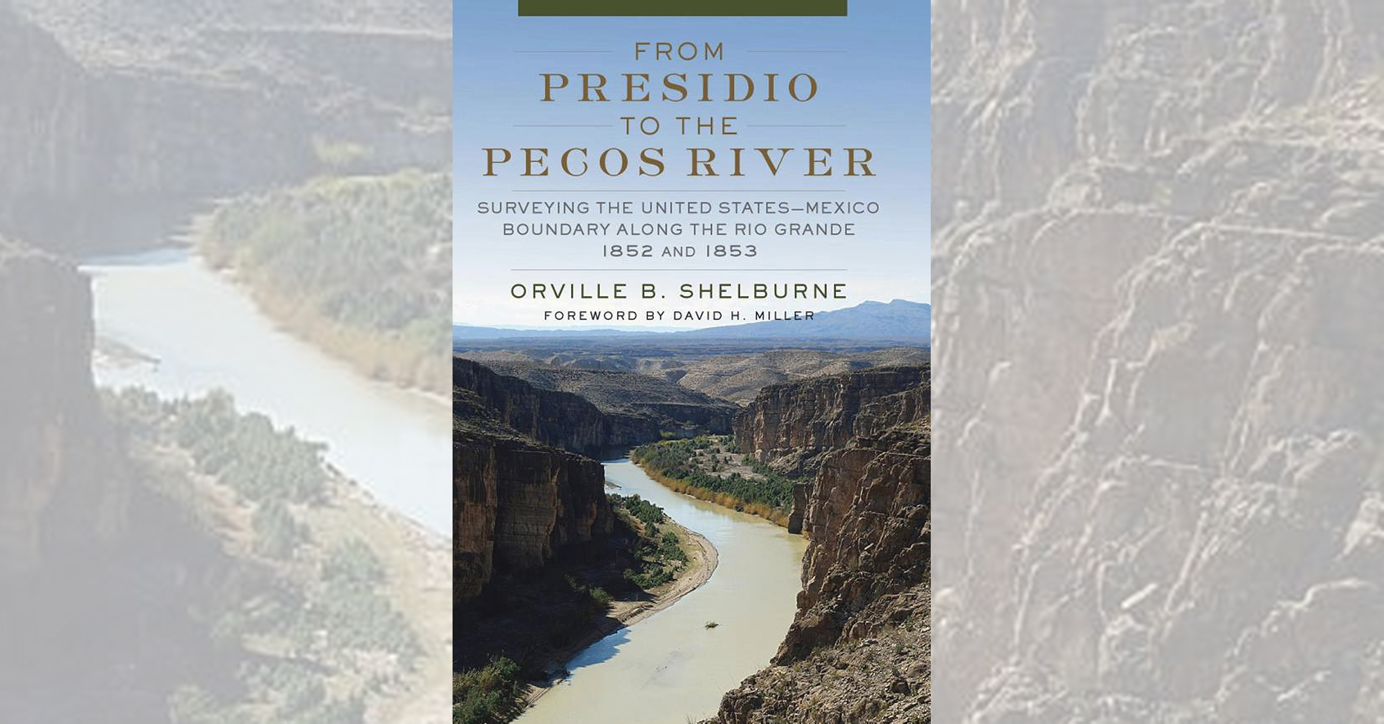
From Presidio to the Pecos River: Surveying the United States–Mexican Boundary 1852 and 1853, by Orville B. Shelburne, University of Oklahoma Press, Norman Okla., 2020, $39.95
Once the ratification of the Treaty of Guadalupe Hidalgo officially ended the Mexican War in 1848, it behooved the combatant countries to accurately delineate their borders. In From Presidio to the Pecos River Orville Shelburne, former manager of Mobil Oil’s worldwide exploration and production services in Dallas, describes how that demanding but necessary chore was carried out and how that international border has intermittently grabbed attention ever since. In 1852 Major William H. Emory of the U.S. Army Corps of Topographical Engineers sent to the border an expedition led by civilian surveyor M.T.W. Chandler. In the course of his research Shelburne discovered a journal kept by Dr. Charles C. Parry, surgeon-botanist and geologist for the 1852 survey, that proves Parry—and not Arthur Schott, as previously believed—did the geological drawings and sketches for the Chandler party.
While the author focuses most on Chandler’s expedition and the third, led by Lieutenant Nathaniel Michler, he certainly does not ignore the failed second expedition under John Russell Bartlett and also covers the survey necessitated by the later Gadsden Treaty. Those surveys were a mixture of scientific research (geological/voltaic mapping) in a land where Comanche and Lipan Apache raids were common. Chandler and Michler, whose survey completed the work in 1853, both managed to avoid conflict with the Indians by using a skillful combination of neutrality and diplomacy.
The Gadsden Treaty—ratified by Congress on April 25, 1854, and signed on June 8 by Mexican President Antonio López de Santa Anna and James Gadsden, the U.S. minister to Mexico—settled another border dispute and added another 29,670 square miles of territory in Arizona and New Mexico to the United States for $10 million. That was followed by two expeditions, moving from opposite directions under Michler and Emory, to map the new boundaries. Before the launch of the various surveys, which used triangulation and other scientific methods, the United States did not know, among other things, the exact coordinates of El Paso del Norte or whether rivers in the new territories were navigable. Readers interested in geography and history will find From Presidio to the Pecos River a fascinating look at an often overlooked but extremely important step toward the opening and future settlement of the American West.
—Thomas Zacharis
This post contains affiliate links. If you buy something through our site, we might earn a commission.


