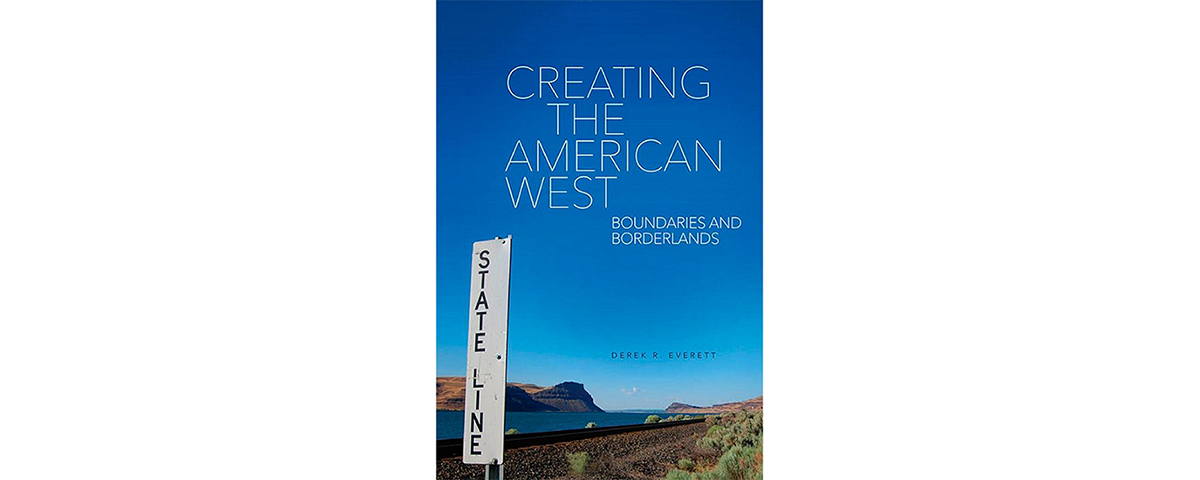
Creating the American West: Boundaries and Borderlands, by Derek R. Everett, University of Oklahoma, Norman, 2014, $29.95
Next time you look at a map of the United States, note all those state borders you once almost learned in school and then mostly took for granted—unless perhaps you’ve lived on one of those borders. In this engaging book author Derek Everett states his case for regarding the American frontier in terms of “intranational borderlands.” In other words, the debating, negotiating and infighting that went into defining state boundaries (most of which were once territorial boundaries) comprise a key chapter of our national history. “In contrast to their common interpretation as stale anachronism,” he writes, “the liens that both divide and unite the country from within remain essential, consequential elements of American life.”
Everett first summarizes the boundary making processes in the Eastern states, some of which cherished their “sea to sea” colonial land grants, even though there was no way for them to govern land beyond the Appalachian Mountains, let alone the Rockies. The bulk of the book, though, deals with state building and bickering west of the Mississippi. The invisible lines drawn up with the participation of politicians, settlers and sometimes American Indians redefined enormous tracts of land the United States gained through purchase, conquest, war and treaty. “Unique factors contributed to the evolution and ultimate shape of these lines,” the author concludes, “yet their existence fulfilled an essential goal for 19th century America. State boundaries remade a diverse, complicated landscape into a distinctly American West.”
Intranational boundary making might not be as important to an understanding of frontier history as are, say, manifest destiny or the country’s international borders (mainly with Spain/Mexico and British Canada), but it does have its place and is fascinating stuff. For example, Missouri and Iowa had a bloodless conflict (the so-called Honey War) over the divide between them, and while outsiders might find it amusing, regional politicians and settlers bickered over that boundary for more than 40 years. That is just one of the 19th century case studies Everett considers in depth. Others deal with the western Arkansas boundary, the Oregon Country boundaries, the California-Nevada boundary, the New Mexico-Colorado boundary and, most recent, the Dakota boundaries.
Establishing states involved far more than drawing lines on a map. Political representation or lack of it, law enforcement, personal identity, economic opportunity, ethnic divisions and philosophical differences all came into play. One of the big differences from the start was whether to divide the land along such geographic features as rivers and mountains or to institute geometric boundaries. “The geometry-versus-geography debate percolated during almost every proposal for a new line to be drawn in the Western United States,” writes Everett. In the end, he says, geometry usually won out. Just over one-third of boundaries incorporate rivers. A bigger surprise: “Only the part of one line corresponds to a chain of mountains—the Continental Divide and Bitterroot Range between Idaho and Montana.” Somehow when backpackers reach that remote line in the wilderness, it does seem to matter they have stepped out of Montana and into Idaho. Western historians will enjoy this book, particularly the informative maps, almost as much as geographers will. And most everyone will be inspired to reexamine that old map of the United States.
—Editor