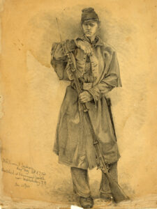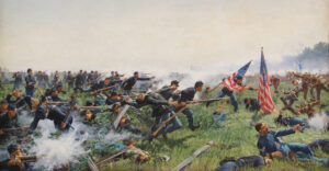
Change is the only constant on Civil War battlefields
A recent examination of some old files turned up a trove of photographs I took with a Kodak Brownie camera on trips to battlefields in the summers of 1965 and 1967. On the most immediate level, these images summoned memories of my first visits to Civil War-related sites, of my excitement at seeing places I had been reading about since I was 10 years old, and of the books, souvenirs, and relics I purchased on the trips (many of which I still have after more than half a century). I also found a diary my grandmother kept during June 1965. She paid 80¢ for lunch in Gettysburg on June 26 and noted that we “spent about one hour and a half taking the tour” and “saw the battle map which was very good.” The next day we drove to Chancellorsville “for Gary to pick up an Ames saber [he] had seen on our way to Gettysburg.” Earlier, on June 21 at Vicksburg, she described my reaction to seeing the battlefield: “It was very interesting going thru the Military Park. Gary was thrilled with the whole deal.”
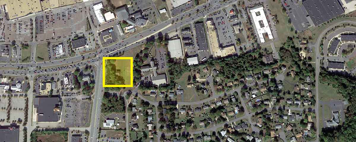
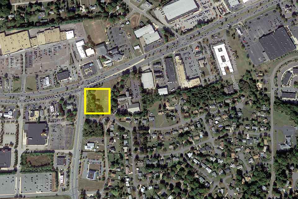
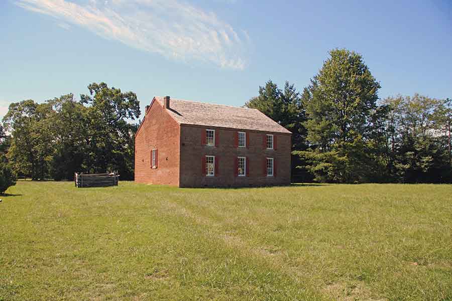
As I studied the photographs, my focus shifted from personal memories to how the slightly faded color prints, which now constitute historical evidence, document striking changes in many of the historical landscapes. Some of those changes reflect the inexorable toll development has taken since the mid-1960s. At Salem Church, Va., in 1965, for example, we parked my grandmother’s 1963 Ford Fairlane on a gravel lane and walked around the brick structure that stood near the center of action on May 3, 1863, during the Chancellorsville Campaign.
Looking eastward, I could see monu-ments to the 15th and 23rd New Jersey Infantry—the former situated north and the latter south of Virginia Route 3 (the wartime Orange Plank Road). The church stood well beyond the area of growth along the Route 3 corridor, with open fields, broken by scattered woods dotting the undulating ground, stretching off in every direction. It was easy to imagine the fighting on May 3, when William T.H. Brooks’ Federal division assaulted Lafayette McLaws’ defending Confederates. Anyone visiting Salem Church today would find it impossible to imagine what I could see in 1965. Isolated on a small green patch amid overwhelming development and buffeted by the sounds of heavy traffic, Salem Church seems a forlorn historical relic devoid of topographical context.
A number of my photographs, however, reveal that numerous sites have improved since the mid-1960s. Three in the Fredericksburg area and one at Antietam will illustrate this phenomenon. The battles of Chancellorsville, the Wilderness, and Spotsylvania all featured, to a greater or lesser degree, the second- and third-growth scrub forest popularly known as the Wilderness of Spotsylvania. I visited all three battlefields in 1967 and at several crucial places could form no idea of what had happened in 1863 and 1864. I took pictures of Union cannons at Fairview Cemetery and Confederate cannons at Hazel Grove—all the muzzles of which pointed directly toward thick woods. How could those batteries have dueled with one another on the morning of May 3, 1863, I wondered?
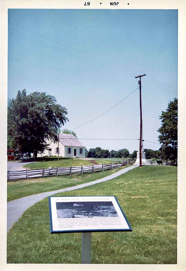
In the small visitor shelter along Route 3 in the Wilderness (at that point the old Orange Turnpike), I was hemmed in by trees on all sides as I sought to reconstruct what happened when the Union 5th Corps collided with elements of Richard S. Ewell’s Second Corps in Saunders Field on the morning of May 5, 1864. And at Spotsylvania I trudged along the path behind the Confederate works in the Mule Shoe salient, again denied any grasp of the contours of the terrain, and by extension of the ebb and flow of action on May 10 and 12, 1864, due to encroaching trees.
Because of impressive scene resto-ration in the years after I took my pictures, the action at all three of these sites is now far more understand-able. Robert K. Krick, the long-time chief historian at Fredericksburg & Spotsylvania National Military Park, pioneered removing trees from National Park Service battlefields. These efforts opened the wartime vista between Hazel Grove and Fairview, allowing visitors to see why artillery in the two positions figured prominently in the climax of heavy combat on May 3.
In the Wilderness, Saunders Field is now open ground, which vastly increases the value of a stop at the NPS shelter. Equally impressive, cleared areas along the northern and western sections of the Confederate works in the Mule Shoe render intelligible Emory Upton’s famous attack against George Doles’ Georgians on May 10 and Winfield Scott Hancock’s massive assaults that led to hideous fighting at the Bloody Angle two days later.
My last example of improved landscapes concerns the Dunker Church at Antietam. Surely one of the most iconic buildings on any Civil War battlefield, it captured Alexander Gardner’s attention when he took his celebrated photographs on September 19, 1862, several of which featured the detritus of Stephen D. Lee’s artillery battalion just across the Hagerstown Pike from the church. As I framed my picture in June 1967, I was disappointed to see a red-and-white house trailer, complete with lawn furniture and a mailbox, less than 50 yards from the southern entrance to the church. I tried to keep the trailer out of my shot but later discovered that part of it lurked at the left-center edge of the image. Today, thankfully, the Dunker Church suffers no such indignity.
No historical landscape is immutable. Natural and built features change regularly, sometimes for the better and sometimes not. The omnipresence of camera phones guarantees that a few decades hence there will be a profusion of opportunities to chart how historic places change. ✯