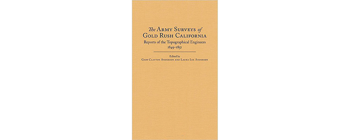
The Army Surveys of Gold Rush California: Reports of the Topographical Engineers, 1849–1851, edited by Gary Clayton Anderson and Laura Lee Anderson, The Arthur H. Clark Co., Norman, Okla., 2015, $34.95
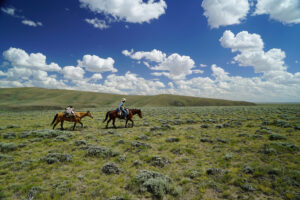
After concluding its war with Mexico in February 1848, the U.S. government shifted its attention to California, where gold had recently been discovered along the American River. Among the first soldiers to arrive in the newly won territory (which would become a state on Sept. 9, 1850) were the 2nd U.S Infantry and elements of the 3rd Artillery. Brevet Maj. Gen. Persifor Frazer Smith, military commander of the Pacific Division, soon realized that most of the California interior was terra incognita. The only maps of the region the Army possessed were that of Colonel John C. Frémont’s far-ranging second expedition, rendered by Charles Preuss, and that used in Brig. Gen. Stephen W. Kearny’s 1846 march to California, designed by William H. Emory—and neither was complete. Smith asked the War Department to send topographical engineers to help him discover the potential wealth and ascertain the exact population of the new territory. Lieutenants George H. Derby, Robert S. Williamson and William H. Warner arrived with the 2nd Infantry, while Lieutenant Edward O.C. Ord came with the 3rd Artillery.
In The Army Surveys of Gold Rush California, Gary Clayton Anderson, author of Ethnic Cleansing and the Indian, and Laura Lee Anderson, editor of Being Dakota, scoured the National Archives to retrieve the largely neglected journals and maps produced by the expeditions Smith set in motion. Among their scores of entries Smith’s engineers reported far smaller Indian populations than period journalists had estimated, and they identified ongoing threats to those Indians—not only the growing influx of miners but also such epidemics as smallpox and malaria. Their records helped the Army select the best locations for garrisons that would enable soldiers to protect the miners while keeping them separated from the Indians in the interest of peace.
The book provides reproductions of their maps juxtaposed for comparison with Frémont’s earlier ones, giving Western scholars a satisfying glimpse into a time when the very map of California was being drawn.
—Thomas Zacharis